Markland Dam (Mile 531.5)
to
Yes, I admit
it. The last time I was out here I bit off a little more than
I could chew and I had to pass up a section. It was my first trip on
the
The charts for this section (102 and 103) are available online, but let me mention for the sake on continuity that I’ll be describing this trip in an upriver fashion despite the fact that I started at the furthest upriver point in Warsaw, Kentucky. I don't usually like to paddle downstream unless, as was the case today, there's no appreciable current. The reason is that you don't want to be at the farthest point out and then have to paddle against the current when you're a little more tired later in the day. Also, paddling upriver eliminates any unpleasant surprises in navigaion on a stream that you might not be familiar with.
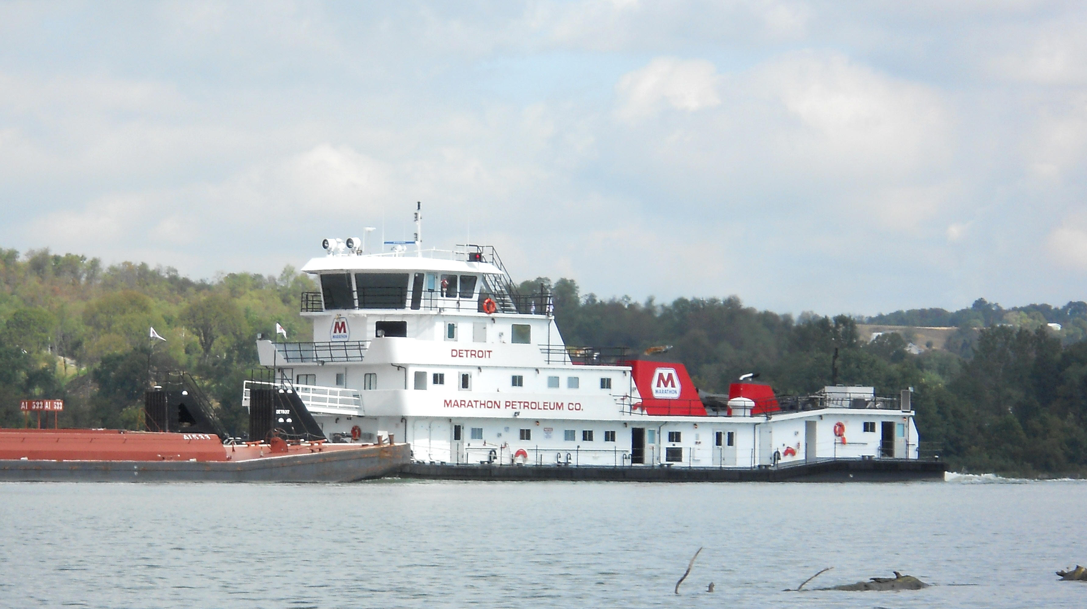
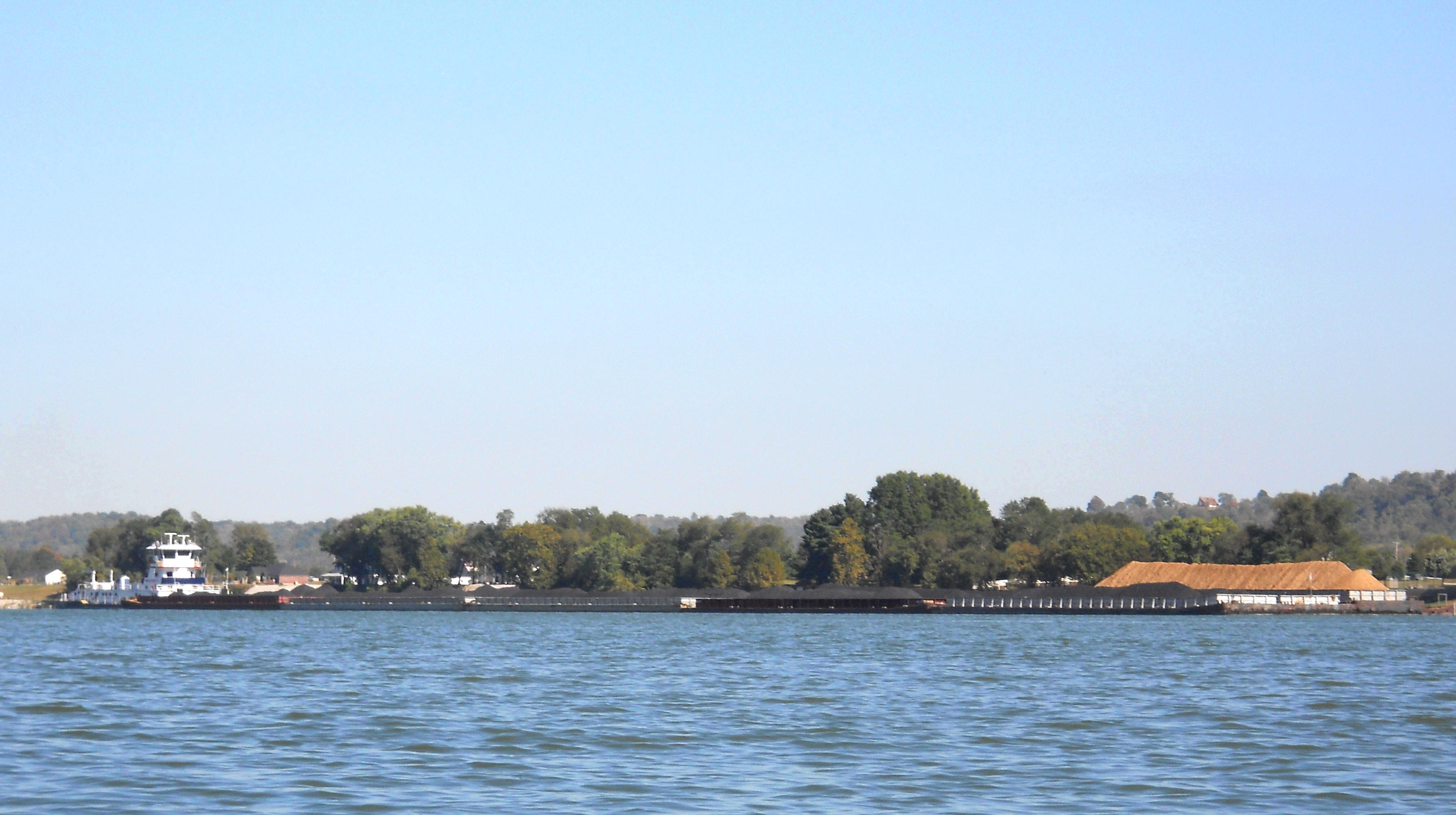
At any rate, I
got my gear together and started paddling down toward the dam as a set of barges floated by under
the escort of a Marathon Oil's push boat, "The
The dam is a pretty foreboding sight as you approach
it, by the way. This was m first encounter with an Ohio River dam.
All my previous experience had come on the Kentucky River where the structures
had been smaller in scope and the locks for them no longer operating.
Thus, I made my approach well on the
lock or
.jpg)
.jpg)
Meanwhile, I’d heard the lock-through process can take some time, and since nothing yet seemed to be happening on this front, I decided to see if I could get a better view from across the water. However... Prior to making that crossing I first paddled back away from the structure about ½ mile for an extra measure of safety and then paddled slowly in an upriver arc to cross, only changing direction slightly past mid-river to head directly toward the opposite shoreline. Once there, I found it to be a little trash strewn, although otherwise pretty pleasant with a nicely forested bank. As far as the northeast corner of the dam, it appeared to contain a marsh-like area (although I didn’t get too close to find out more).
.jpg)

Meanwhile, I
didn’t forget to keep an eye on what was happening across the way.
Apparently the pushboats come up to lock gate, and once all is clear the gate
is lifted and they enter into an inner chamber which will then lower them to the
same level as exists on the opposite side of the dam. I
watched as the
OK…
Since I’m technically starting my trip at this point, I’ll mention here
that this section of river has roads which follow it for its entire length –
Indiana 156 on the
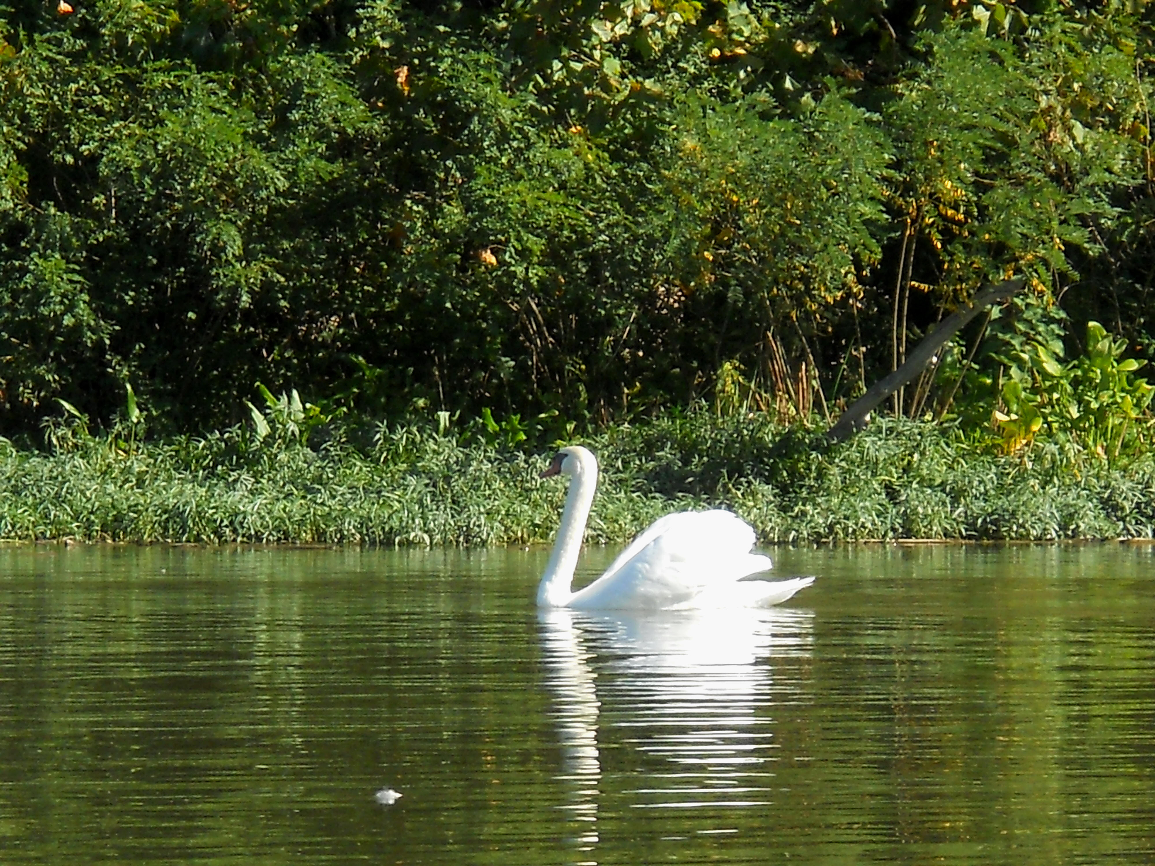
Just inside the mouth of Dan's Creek you'll find a beautiful riverboat casino - the Miss Belterra - part of the Belterra Casino complex which contains the tallest building for miles, a hotel. NOTE: I'm note sure the boat is still here. I know that since gamling restrictions have been lifted in our country that gambling amid a neutral location like a boat on the water is no longer necessary. Indeed, I saw that the Casino Aztar boat in Evansville is no longer around. Now I think I made it back into Dan's about 200 – 300 yards, but to be honest I lost track of my paddle count. I was distracted both by the boat and by the spectacular swan I encountered in the second photo!
.jpg)
Meanwhile,
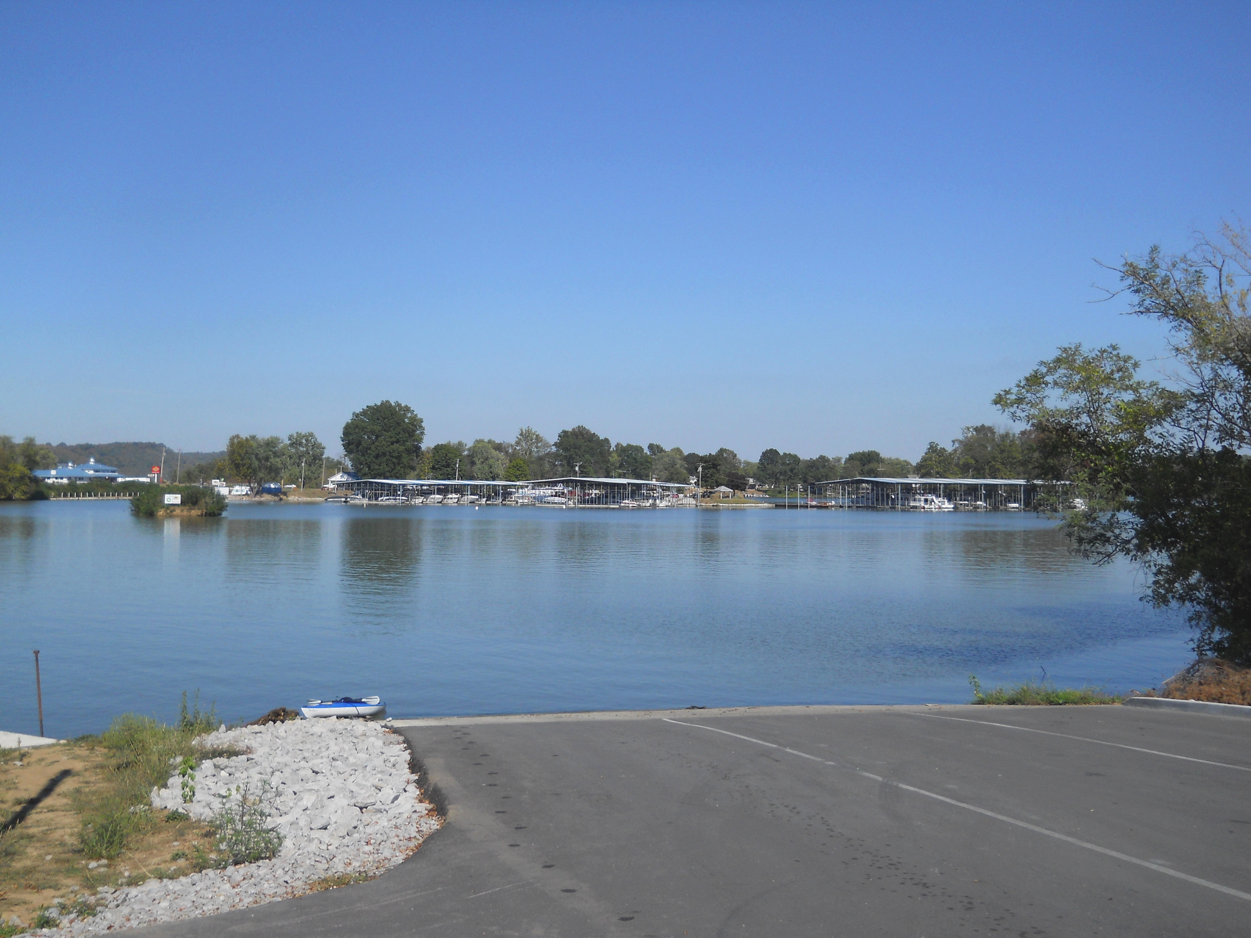
Craigs Creek Cove on the
.jpg)
Anyway, this
cove spreads in a few directions. Me, I headed back and to the right, eventually
reaching a “T” about 1 ¼ miles in. There were 2 low bridges
here, just negotiable to
the paddler but perhaps a bit too low for a power boat. Both
directions were
navigable past the bridges, but I didn’t have enough time to explore both so I
opted for the
one on the right -
After negotiating the bridge you’ll be in a totally different environment compared to all the boats and houses you’ll have seen to this point. It looks much more like a wilderness back here. It also branches again, so just to be consistent I first headed to the right, soon finding myself in a very low lying area where the houses had returned. “Hmmm… This is getting a little too up close and personal.” I thought. “I think it’s time to head back now!”
I then tried the branch to the left and found a beautiful environment near the end...
.jpg)
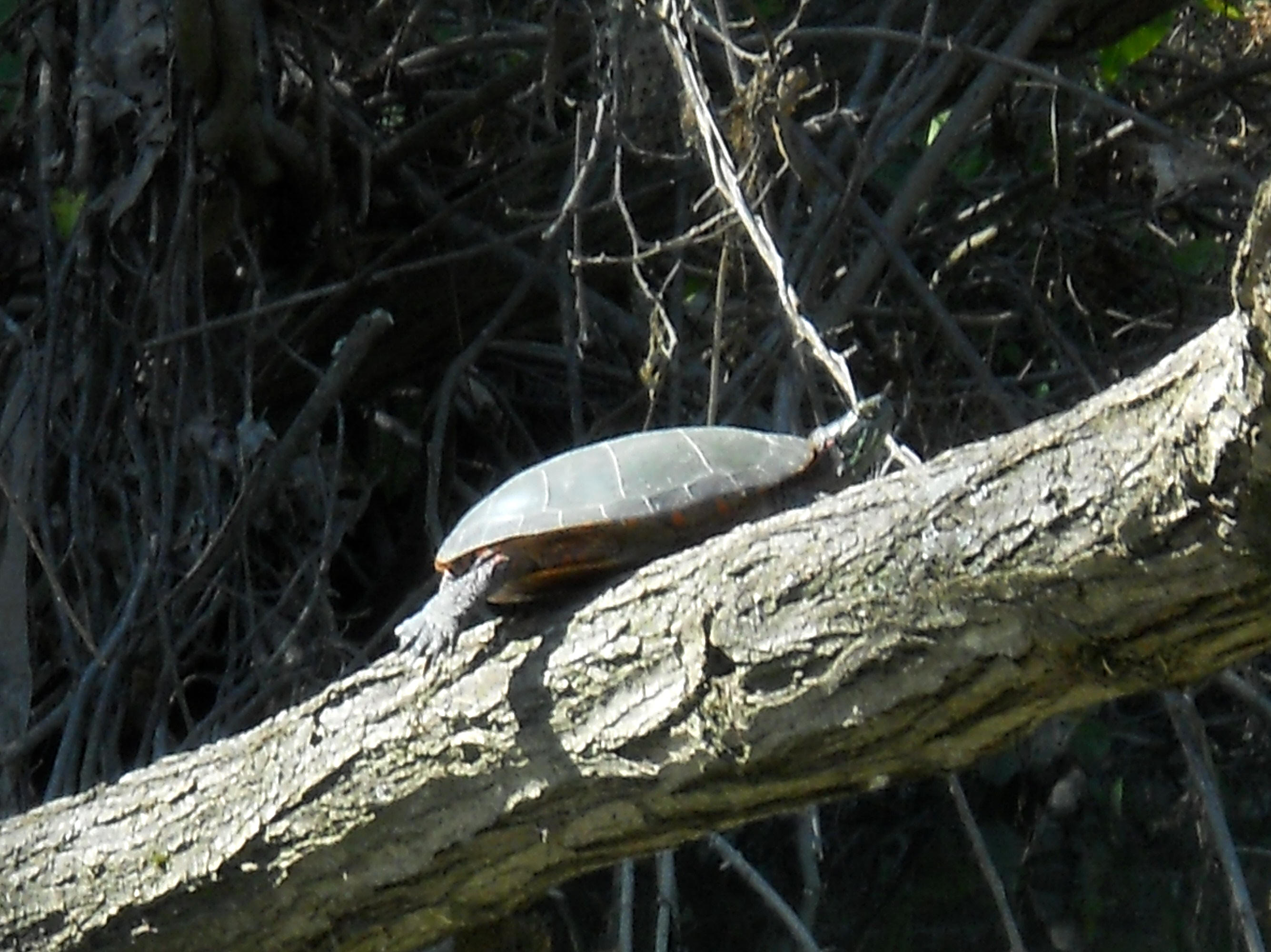
I also had a meeting with a pretty bold little turtle that held it's ground long enough for me to get a decent picture…
Back to the
Meanwhile, the
Turtle Creek enters at mile 529 on the north side of the river on the outskirts
of
.jpg)
…and speaking
of looking nice, check out
.jpg)
.jpg)
On
a side
note, there’s an ancient ramp just
downriver from
It was from
here on that I was exploring the aforementioned area that I missed the last time
in
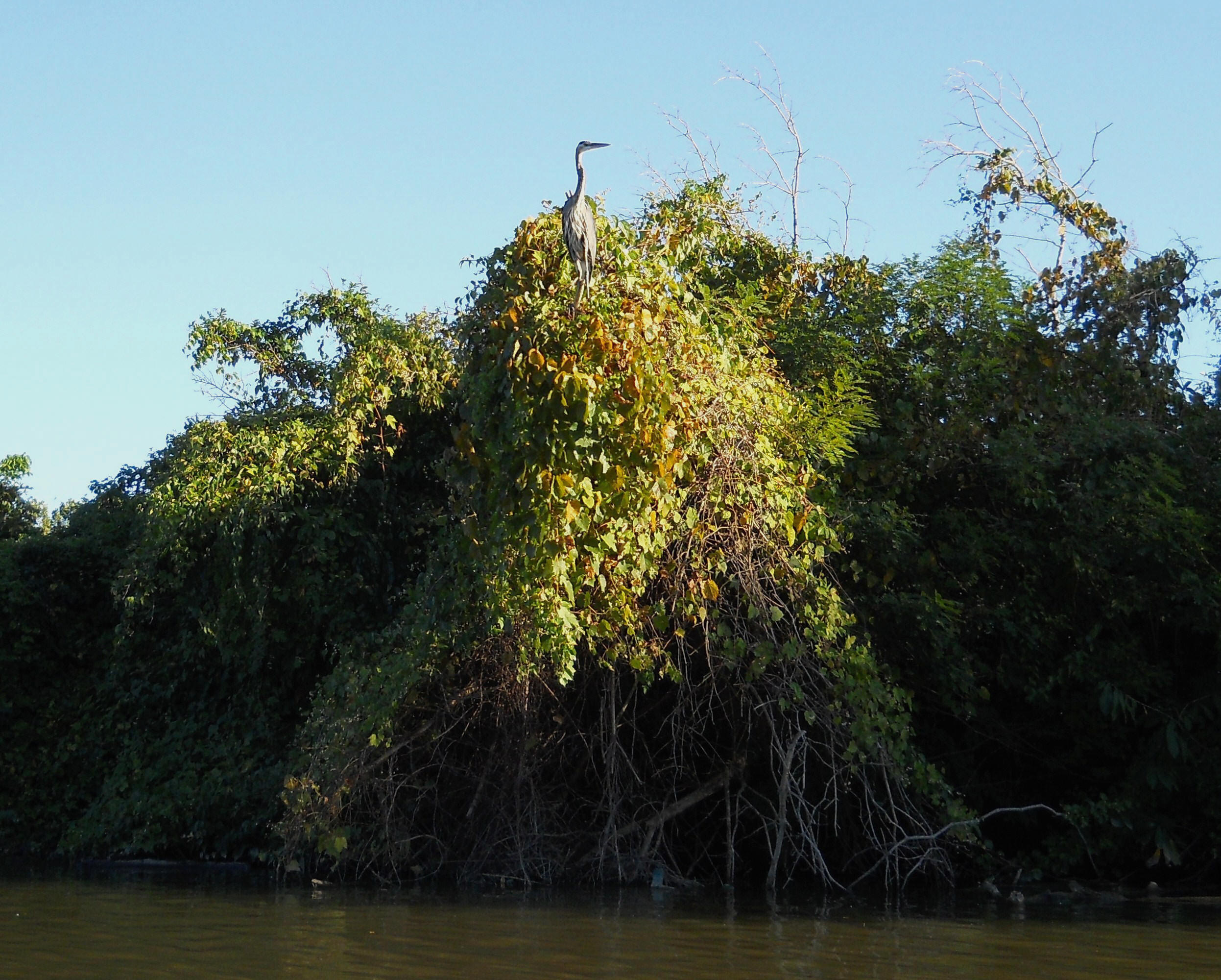
I also met what I believe was an osprey in this section. These birds are simply amazing the way they fish! You’ll catch them out of the corner of your eye as they swoop down from whatever tree they’ve been perched upon and hit the water – hard! – to grab their prey. You’d think they might hurt themselves hitting the water so heavily, but it’s quite a spectacle.

Last up –
…and I also thought the fallen tree below made for an interesting sight…

This cove gets
really shallow at the furthest point and the fish were really enjoying it.
In fact, all it seems you’d need is a canoe or kayak and a net!
They were jumping all around me. Even the ones I
couldn’t see left telltale swooshes of mud in the water.
Anyway,
emerging back onto the Ohio from the other side of the “A”, I was intrigued by
the sight of a little pier out in the middle of nowhere and I crossed back to
the Kentucky side at about the same point I did last time, across from a really
grand house. I got back to

The ramp and
park look pretty safe, by the way, but I did notice a certain element which
might be of concern if you arrive
solo much later than that. I say
might because my instincts as far
as people’s tendencies are usually wrong. As always, however,
pick your spots and be please careful out there – bring a phone too.
DIRECTIONS:
From
I took the
From
Take the KY35
exit off I71 and head north directly into downtown